

WEBSITE AND DIGITAL MAP
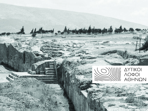
The Western Hills have been incorporated from the outset into the urban environment of Athens and have since been the focus of a variety of interventions, such as stone extraction, landscaping and afforestation, individual or collective appropriation, and visual arts.
The project ATHENS WESTERN HILLS consists in collecting and processing archival material for studying the morphology of the Ηill of the Muses, the Pnyx, and the Nymphs, focusing on the archaeological remains, the road network and the constantly changing topography. The old maps of Athens preserve unique archaeological and historical information about the Ηills. This information is depicted on a single cartographic background, further enhanced with visual resources.
The project was completed in 2018 with the kind support of the John S. Latsis Public Benefit Foundation.
Click on the following links to enter the project website and the digital map, created by Dipylon.
SPONSORS