20 DECEMBER 2023
Cooperation Dipylon-DAI
As a result of Dipylon’s cooperation with the German Archaeological Institute, the DAI sherd collection survey sites were integrated onto Dipylon’s webGIS project "Karten von Attika in the Era of Digital Humanities."
The Maps of Attica by Johann A. Kaupert and Ernst Curtius provided a suitable background for decades of study on the topography of Attica. The sherd collection, which is kept at the German Archaeological Institute, was formed based on the Maps.
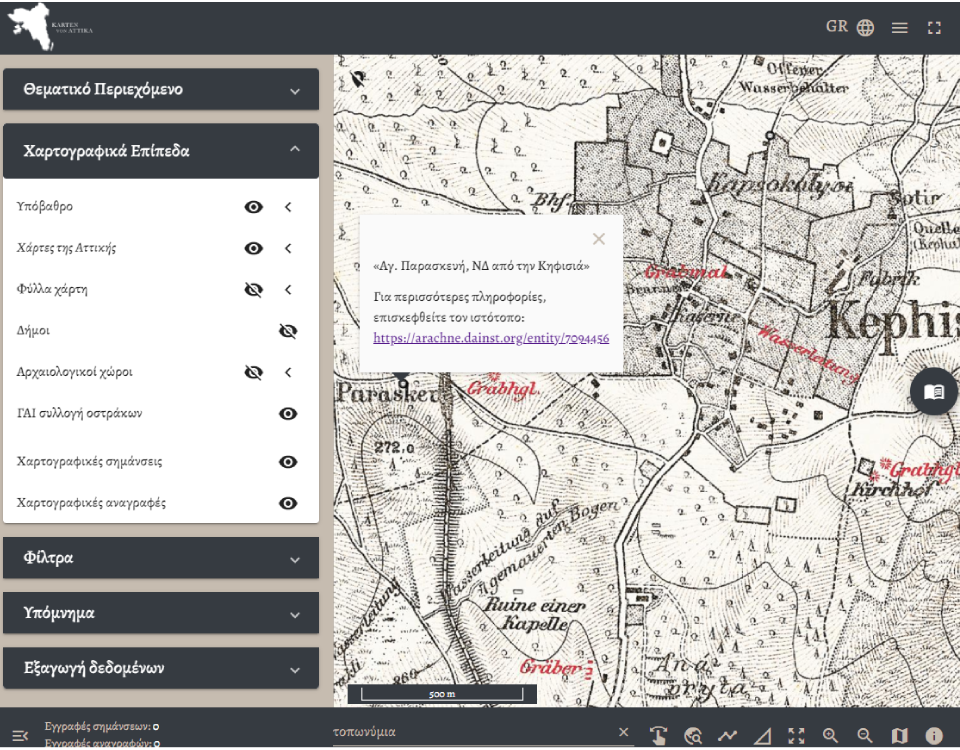
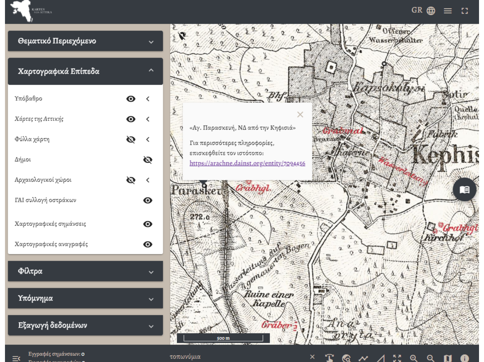
To explore the sites, navigate to the webGIS platform, open the "Cartographic Layers" tab, and activate the "DAI sherd collection" layer. Each site has a link to the German Archaeological Institute’s database for more information.
The picture shows the settlement of Kephisia, to the southwest of which the church of Agia Paraskevi still stands today (renovated). Sherds found at this site are among the DAI sherd collection mapped by Dipylon. For more, take a look at the map: https://dipylon-kartenvonattika.org/webgis/sign/726

