16 FEBRUARY 2017
Historical Cartography and GIS
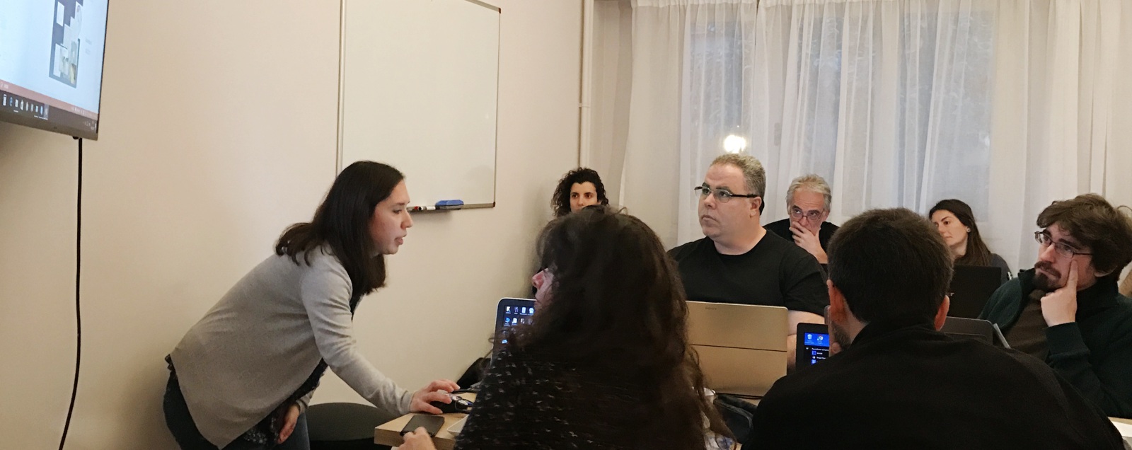
Dipylon has held a 20-hour seminar cycle on "Historical Cartography and Geographic Information Systems (GIS)". The seminar was organised under the auspices of the Greek Chapter of the International non-profit organization "Computer Applications and Quantitative Methods in Archeology" (CAA-GR) and with the support of the Laboratory of Geophysics - Satellite Remote Sensing & Archaeo-Environment of the Institute of Mediterranean Studies.
The purpose of the seminar was to familiarize participants with the basic principles of GIS and their main applications in History and Archeology.
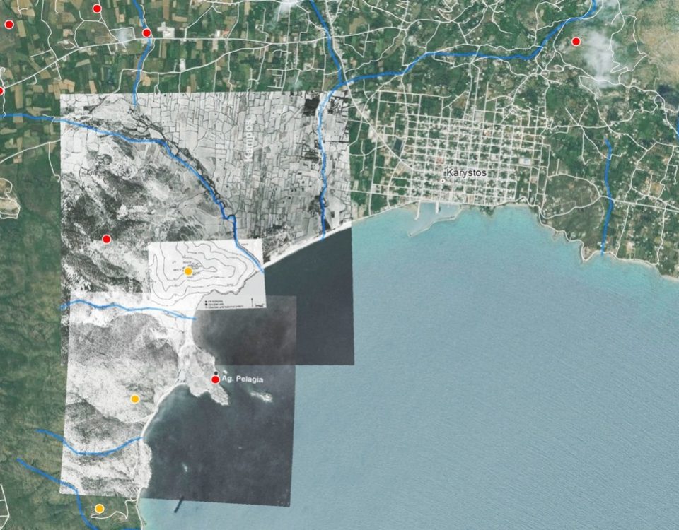
During the seminar, participants had the opportunity to get to know standard GIS software (ArcGIS, QGIS), use historical and archaeological data, and share their own experiences and examples.
- Instructor:
- Eleni Gadolou, PhD Geography.
- Duration:
- 20 hours in 6 weekly meetings
- Beginning:
- Thursday 16 February 2017
- Time:
- 17:30-20:30
- Language:
- Ελληνικά
- Place:
- Dipylon offices, Roma 5, 106 73, Athens
- Participation cost (per person):
- € 100
- Further information
- Katerina Stathi: katstathi@yahoo.co.uk