HISTORICAL TOPOGRAPHY
From every study of ancient topography and through historical maps, and archival documents (drawings, aerial photographs and artistic illustrations) we obtain important information with regard to the changes of landscape through time.
By availing ourselves of the tools of Geographic Information Systems (GIS) we can correlate contemporary and historical cartographic representations in order to identify areas, locate archaeological remains that have been damaged and to study landscape features that have been altered (e.g. river banks, elevations, streams), either partly or fully, by contemporary interventions.
In the case of Athens, the focus is on the georeferencing of a variety of early maps of the city, such as those drawn by Fauvel (1787), Kleanthis and Schaubert (1831-1832) and Kaupert (1875). Thus, now it is possible the simultaneous study of maps depicting the city in different periods of time. This particular set of data is constantly enriched with archival aerial imagery and past cadastral maps of the city centre produced by the proper Public Services (Greek Army Service/City Planning Commission).
The aforementioned historical backgrounds have a supportive function in order for the archaeological drawings and illustrations to be spatially placed as accurately as possible for the purpose of understanding and recording the changes to which the topography of the city has been subjected.
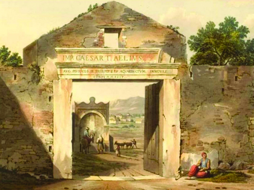
Aiming at employing all sources at hand, the study of the city through time is enriched with sketches and text excerpts from various historical periods that are being placed on the corresponding areas. Given that many features have been totally wiped out, the slightest available information is precious.