
January 24, 2024
Τhe project Walk the Long Walls is an audiovisual web app along the route of the Long Walls.
July 27, 2022

The project of the Dipylon Society entitled Walk to Plato’s Academy is an audiovisual web app offering an exciting walk in the modern area of Plato’s Academy.
April 1, 2021
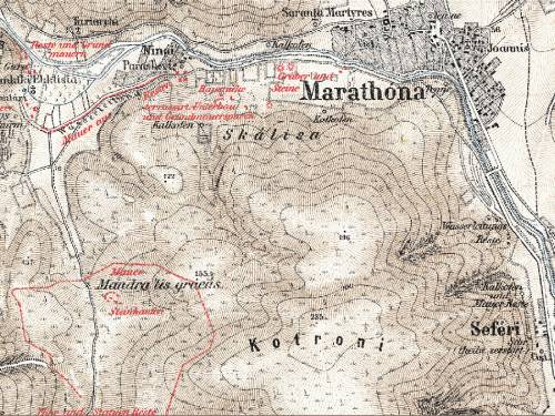
Karten von Attika and GISc: Antiquities and topography of Attica in the era of digital humanities.
October 10, 2018
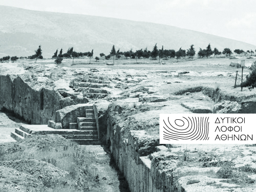
Athens Western Hills. A collection of historical and cartographic data for the Ηills of the Muses, the Pnyx, and the Nymphs with the use of GIS.
October 5, 2018
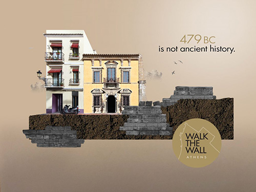
Walk the Wall Athens. With the help of this app, the user goes on a unique tour of the historical center of Athens and visits its ancient walls.
June 12, 2018

Mapping Ancient Athens. An original web platform for the preservation and dissemination of the unknown archaeological wealth of Athens.
June 10, 2018
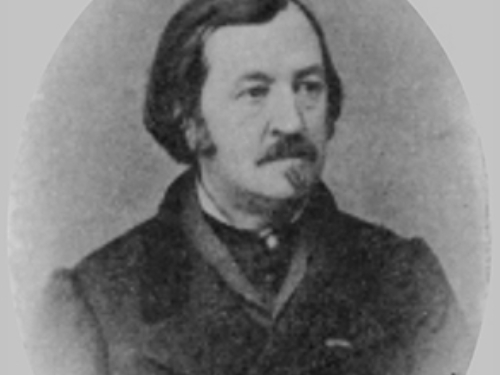
Émile Burnouf. The area of the Ηills of the Muses, the Pnyx, and the Nymphs had been under systematic scrutiny by the French Émile Burnouf..
May 7, 2018
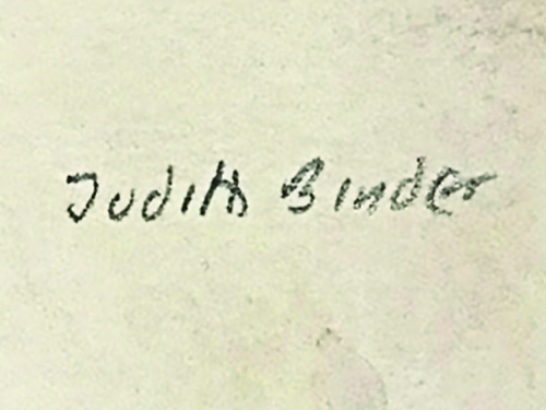
The project of Judith Binder. Her work, "The Monuments and Sites of Athens: A Sourcebook" is a research tool that collects all sources on Athenian topography.