SCOPE
Dipylon is a non-profit organization for the study of ancient topography and the cultural environment through interdisciplinary research on Archaeology, History, Informatics, and Cartography.
We are interested in the collection, organization and dissemination of published archaeological material, archival documents, and cartographic data to promote cultural assets using digital technology.
PROJECTS


LATEST NEWS

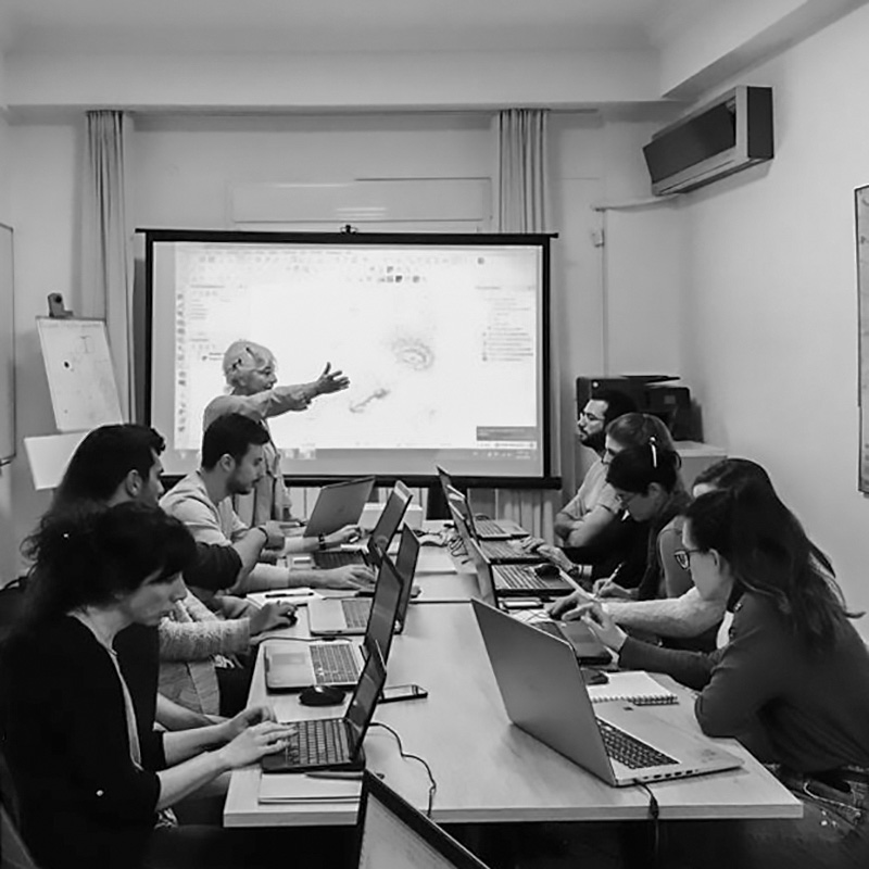
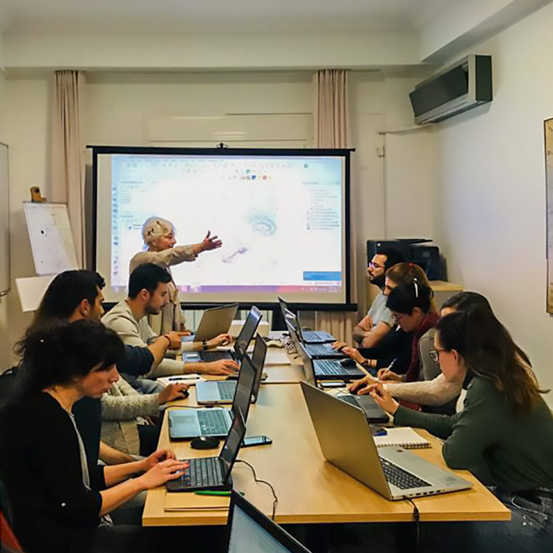
Presentation at the ‘‘Archaeological Dialogues”, 2025
Presentation at the ‘‘Archaeological Dialogues”, 2025.
Read more
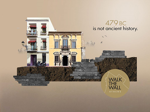
Presentation at the course Topography of Athens, College Year at Athens, 2025
Presentation at the course Topography of Athens, College Year at Athens.
Read more
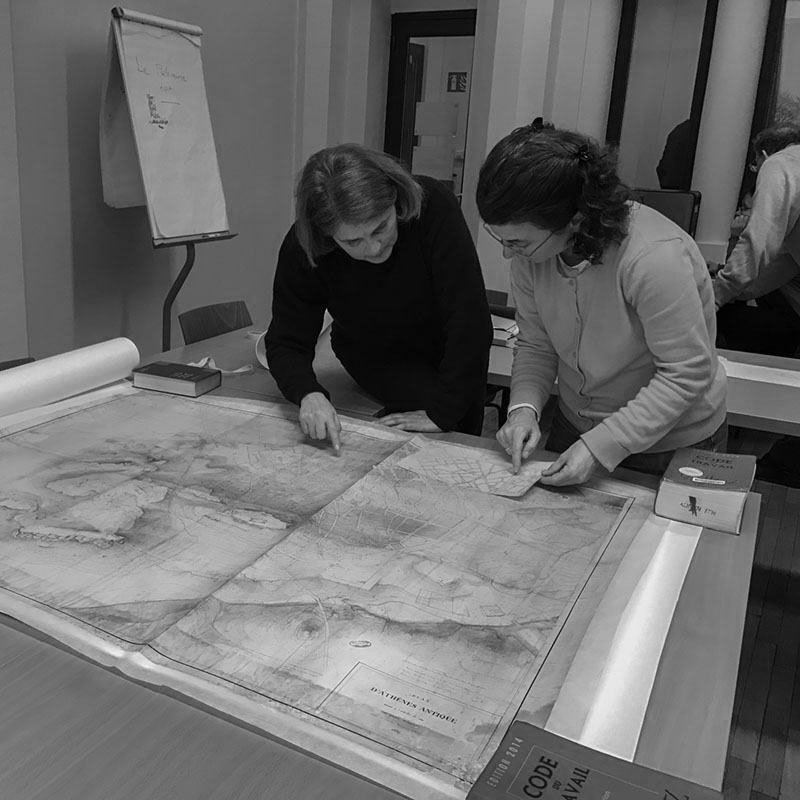
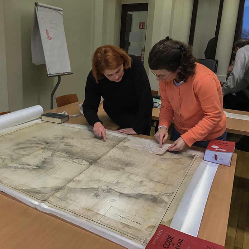
Skills Workshop – ”Ursuline” Greek-French School, 2024
Skills Workshop - ''Ursuline'' Greek-French School, 2024
Read more
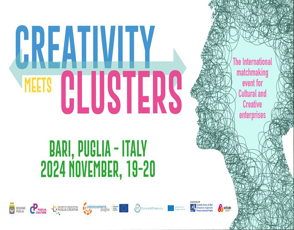
Creativity meets Clusters Conference, 2024
Creativity meets Clusters Conference, 2024
Read more
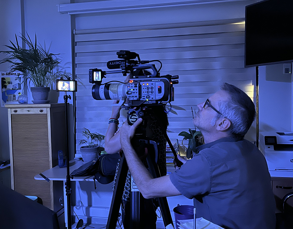
Participation in the documentary “ATHENS: ORIGINS OF DEMOCRACY”, 2024
Participation in the documentary “ATHENS: ORIGINS OF DEMOCRACY”, 2024
Read more
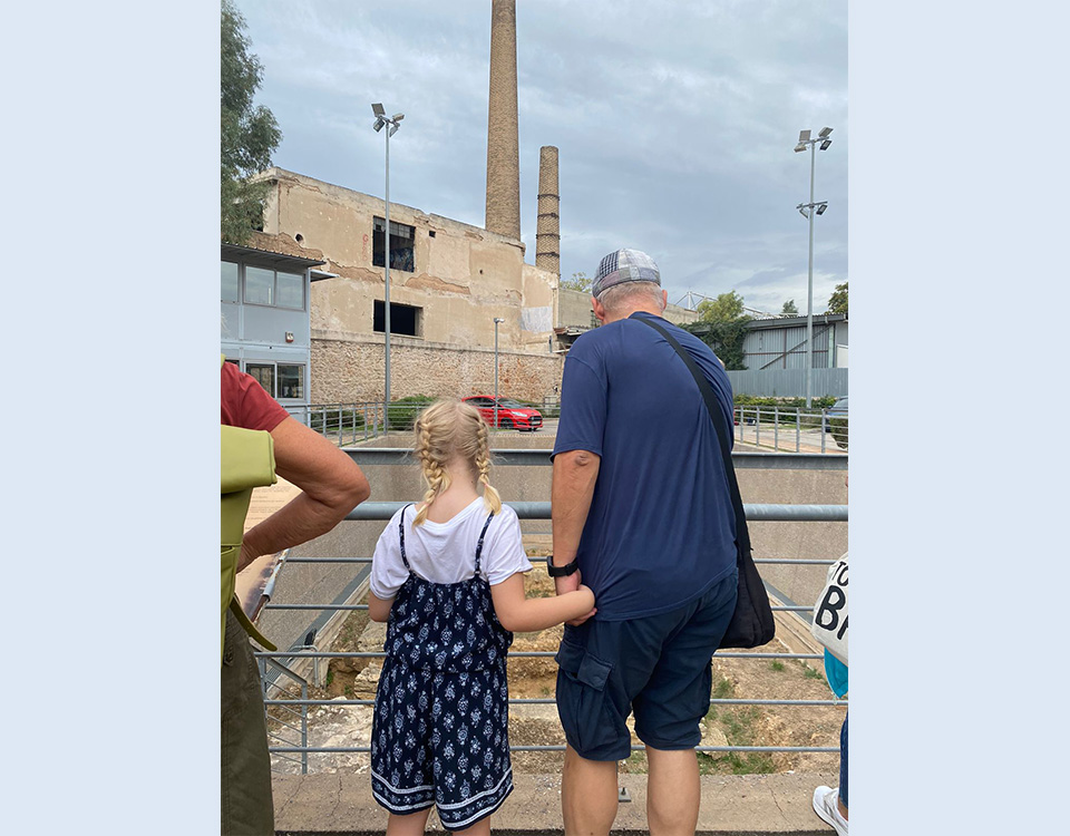
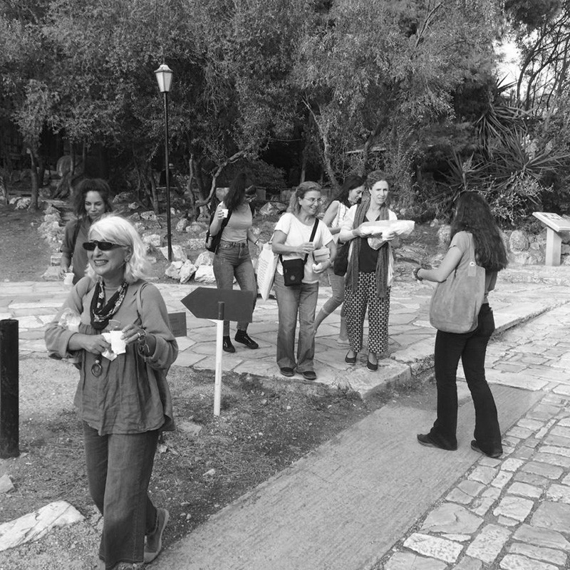
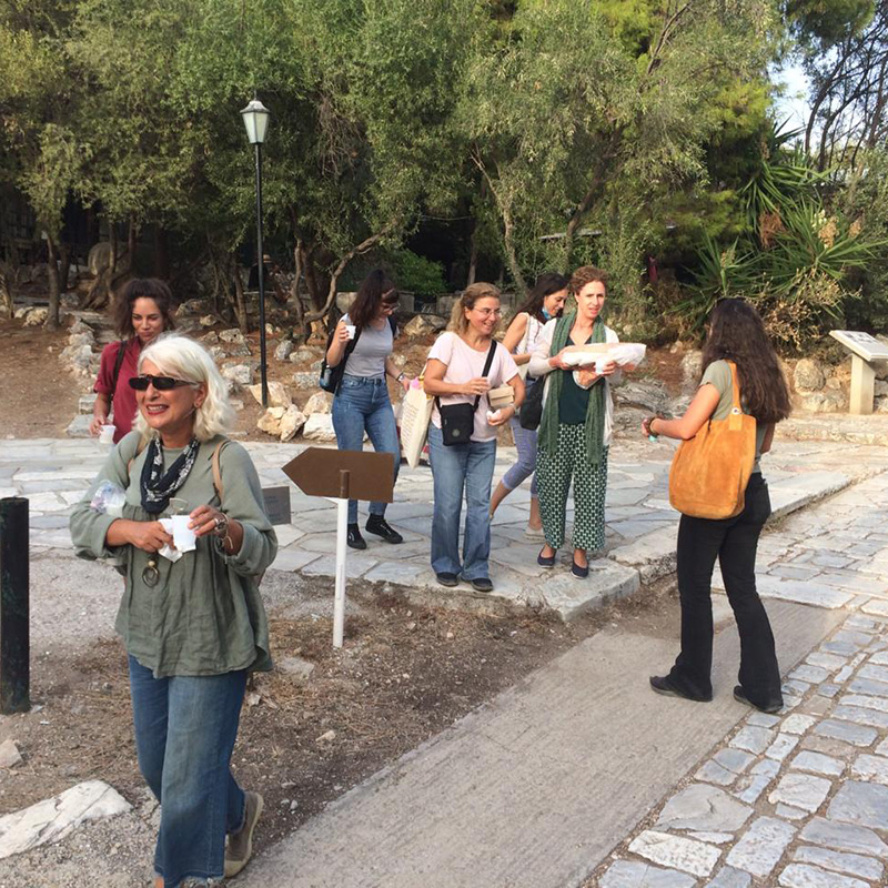
Thematic walks in collaboration with the NEON team, 2024
Thematic walks in collaboration with the NEON team.
Read more
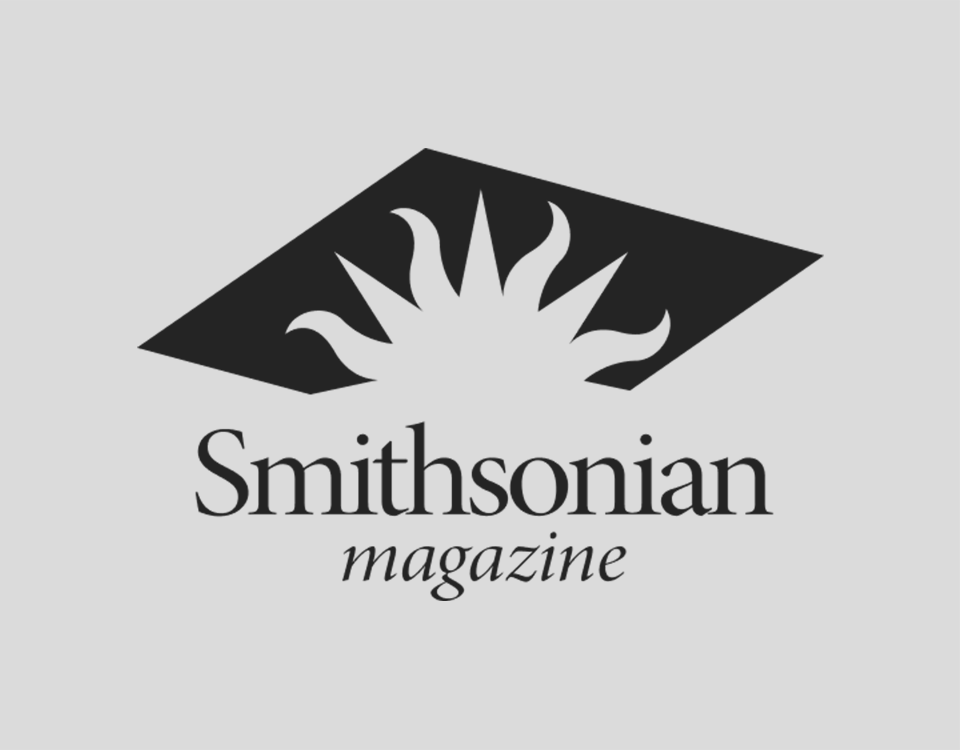
Smithsonian magazine – Dipylon, 2024
Smithsonian magazine - Dipylon, 2024
Read more
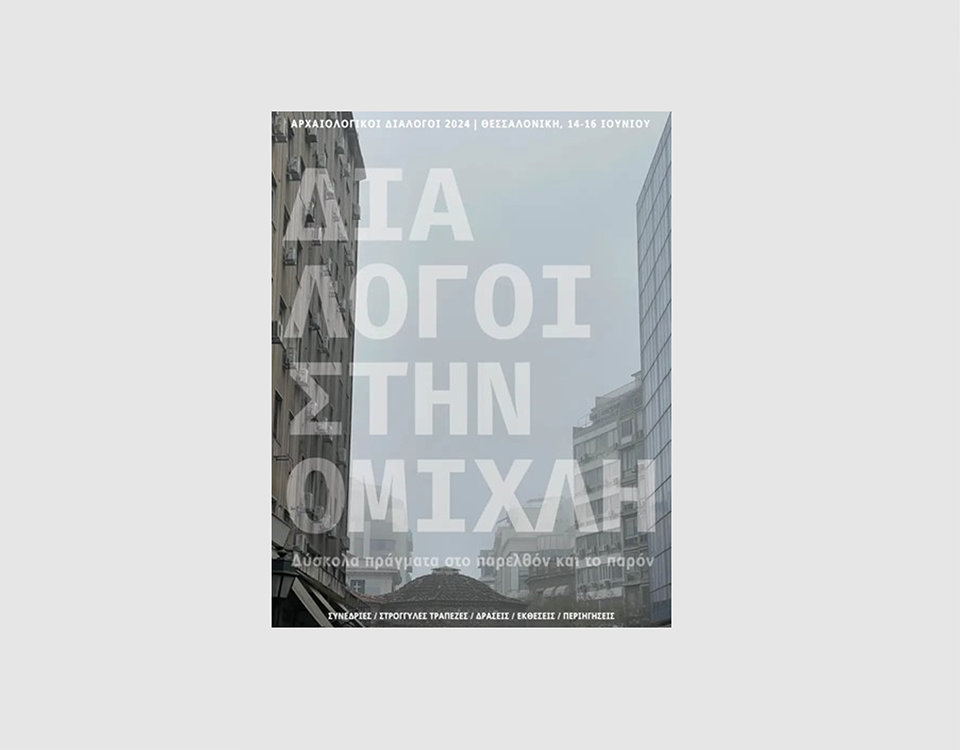
Participation in the conference “Archaeological Dialogues”, Thessaloniki 2024
Participation in the conference “Archaeological Dialogues”, Thessaloniki.
Read more